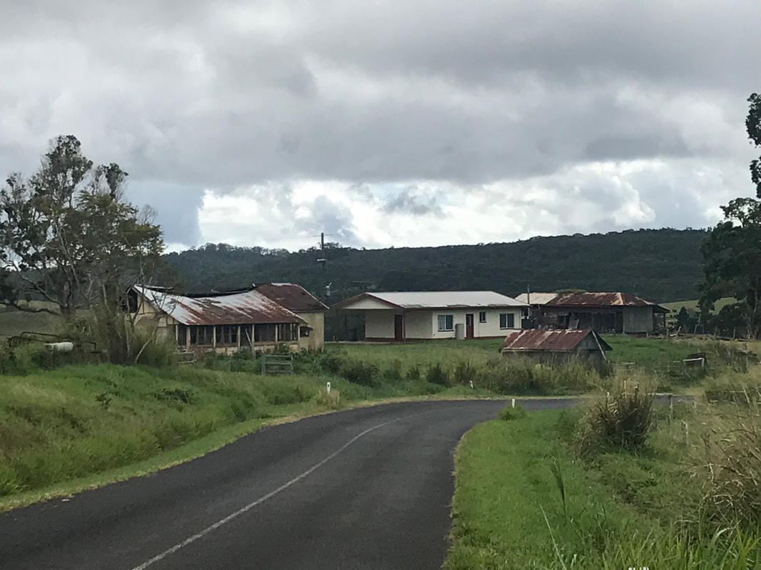
The drive through Yungaburra National reserve along the Gilles Highway has its challenges, as we make our steep climb onto the Atherton Tablelands. We’ve visited many areas of the Tablelands quite a few times over the years, but you never get over the huge rainforest stands of the park which tower above you. As we travel, the ambient temperature drops nearly 10 degrees from its counterpart on the coast. We are taking our time as we climb, and fortunately there are overtaking lanes dotted here and there as huge B-Double trucks overtake us, seemingly effortlessly. You are never more reminded that you are retired as when life goes on at a hectic pace around you!
The Gillies Highway is a road that runs from Gordonvale in the Cairns region through the Great Dividing Range onto the Tablelands to Atherton. The highway is known for its 263 corners, and 800 m elevation change in only 19 km of road. It is a popular tourist drive and has a number of lookouts. The Gillies Highway was named after William Gillies, a former Premier of Queensland. Tragically, on 4 February 1987, a bus carrying Year 12 school students and teachers from the Cairns State High School came off the highway and fell down 20 metres into rainforest, killing 8 students. An inquiry at the time, established the brakes of the bus were faulty.
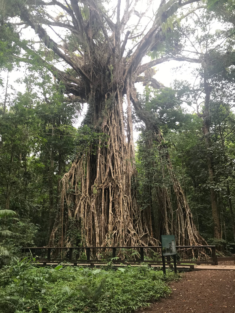
We take a turn-off to Lake Tinaroo, but after many kilometres, when the road turns into a moist track, and we don’t have any internet to look ahead on our GPS, we take out an old fashioned map, Stephen purchased with great foresight for just such an occurrence. It seems that we are on a road which goes all around ‘the lake’, but all we can see is thick bush between our track and where the lake might be. As the forest encroaches more and more on our damp trickle, we decide that the better part of valour might actually be to backtrack and continue our plans to get to the town of Yungaburra. Another much shorter exit takes us to a magnificent Fig tree which has been named the Cathedral Fig because of its thick curtain of roots. It is estimated that the tree has stood in the forest for more than 500 years. We are glad that as we arrive at her voluminous skirts with no one else around us, the silence surrounding her seems to show that the forest is in awe of this grand old lady. High above us stretching towards the light, are her branches supporting huge elkhorn ferns as if she is holding bouquets for the world to see.
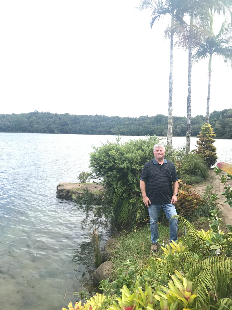
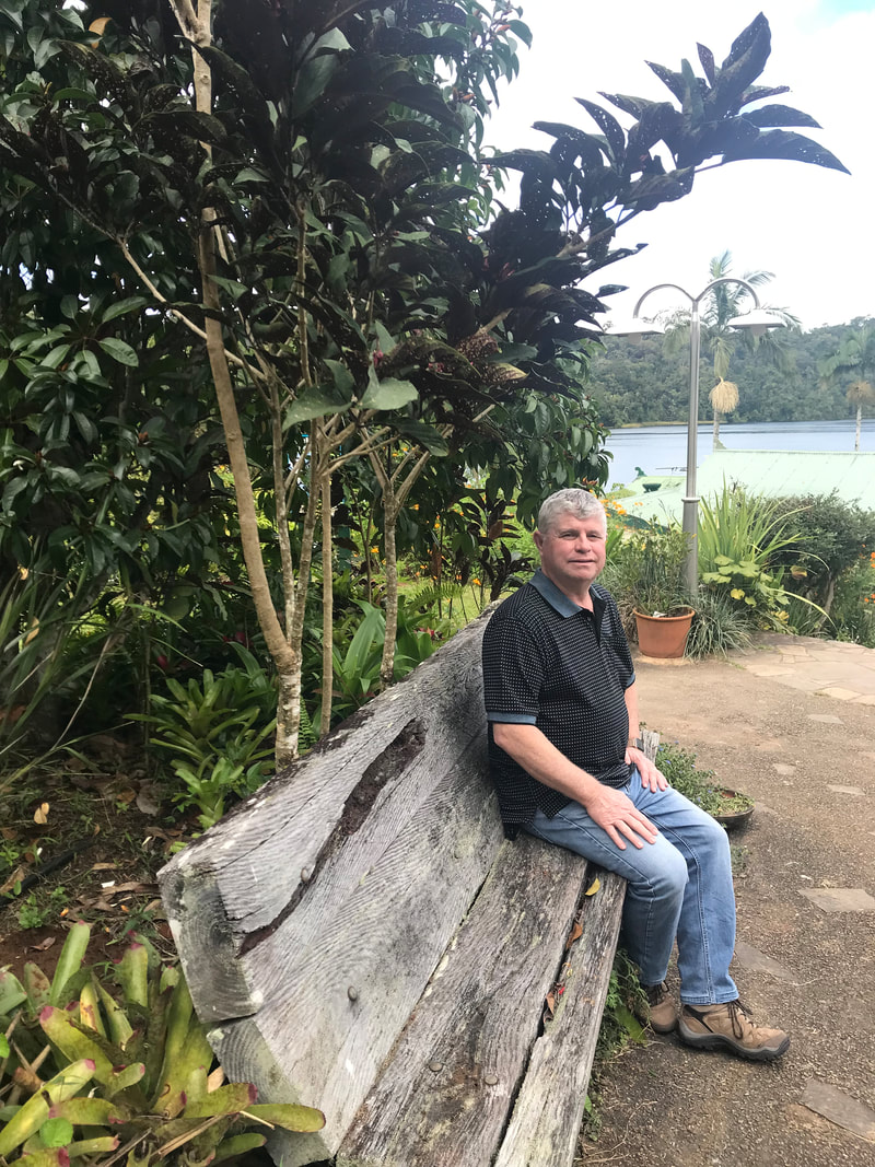
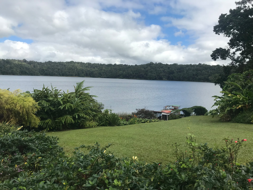
It’s believed that the Atherton tablelands was created about 100 million years ago, when the eastern edge of the Australian continent extended much further to the east, before tectonic forces fractured, pulling it apart. At the same time, slowly rising mantle material caused a doming up of the continental crust. As the eastern part of the continent broke away, it gradually sank below sea level. Since that time, the uplifted western portion has been slowly eroding westwards. Some of the rising magma interacted with groundwater, producing violent eruptions that led to the formation of volcanoes, such as Lake Eacham and Lake Barrine. We call into Lake Barrine where an elegant tea house squats by the lake’s edge. It is closed due to the Covid and with the sight of two rusting barges which used to ply the waters carrying tourists but now sits rusting away.
The Gillies Highway is a road that runs from Gordonvale in the Cairns region through the Great Dividing Range onto the Tablelands to Atherton. The highway is known for its 263 corners, and 800 m elevation change in only 19 km of road. It is a popular tourist drive and has a number of lookouts. The Gillies Highway was named after William Gillies, a former Premier of Queensland. Tragically, on 4 February 1987, a bus carrying Year 12 school students and teachers from the Cairns State High School came off the highway and fell down 20 metres into rainforest, killing 8 students. An inquiry at the time, established the brakes of the bus were faulty.
We take a turn-off to Lake Tinaroo, but after many kilometres, when the road turns into a moist track, and we don’t have any internet to look ahead on our GPS, we take out an old fashioned map, Stephen purchased with great foresight for just such an occurrence. It seems that we are on a road which goes all around ‘the lake’, but all we can see is thick bush between our track and where the lake might be. As the forest encroaches more and more on our damp trickle, we decide that the better part of valour might actually be to backtrack and continue our plans to get to the town of Yungaburra. Another much shorter exit takes us to a magnificent Fig tree which has been named the Cathedral Fig because of its thick curtain of roots. It is estimated that the tree has stood in the forest for more than 500 years. We are glad that as we arrive at her voluminous skirts with no one else around us, the silence surrounding her seems to show that the forest is in awe of this grand old lady. High above us stretching towards the light, are her branches supporting huge elkhorn ferns as if she is holding bouquets for the world to see.
It’s believed that the Atherton tablelands was created about 100 million years ago, when the eastern edge of the Australian continent extended much further to the east, before tectonic forces fractured, pulling it apart. At the same time, slowly rising mantle material caused a doming up of the continental crust. As the eastern part of the continent broke away, it gradually sank below sea level. Since that time, the uplifted western portion has been slowly eroding westwards. Some of the rising magma interacted with groundwater, producing violent eruptions that led to the formation of volcanoes, such as Lake Eacham and Lake Barrine. We call into Lake Barrine where an elegant tea house squats by the lake’s edge. It is closed due to the Covid and with the sight of two rusting barges which used to ply the waters carrying tourists but now sits rusting away.
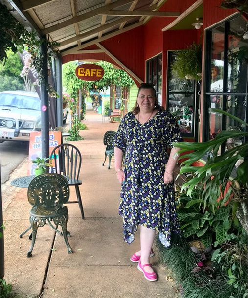
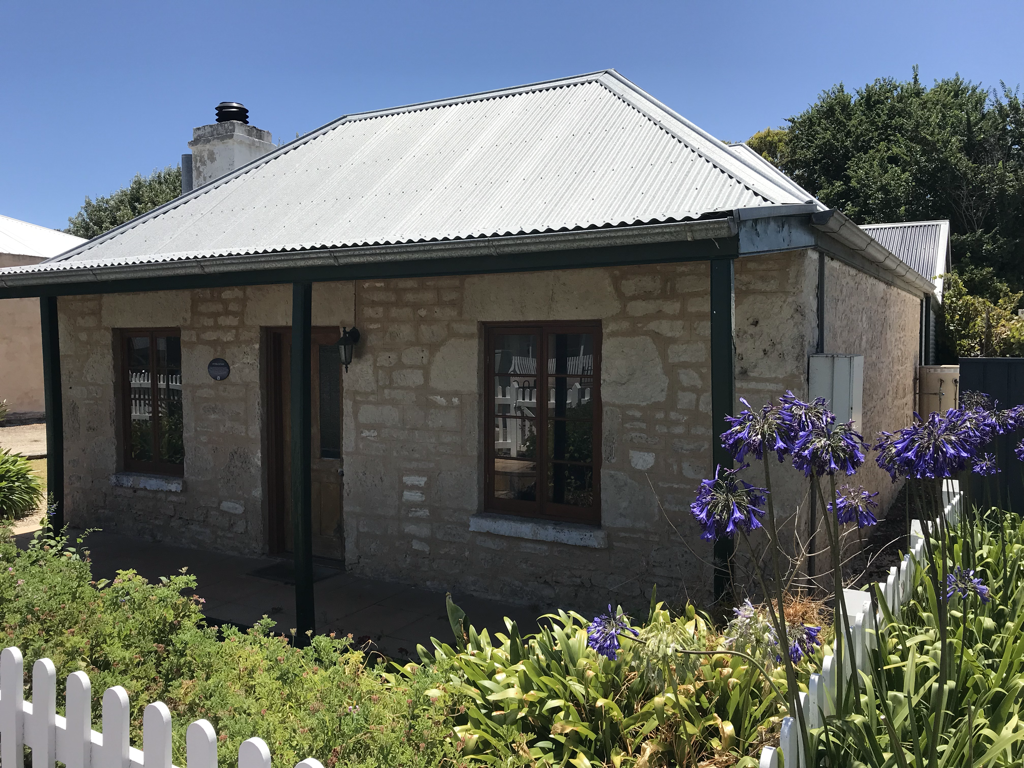
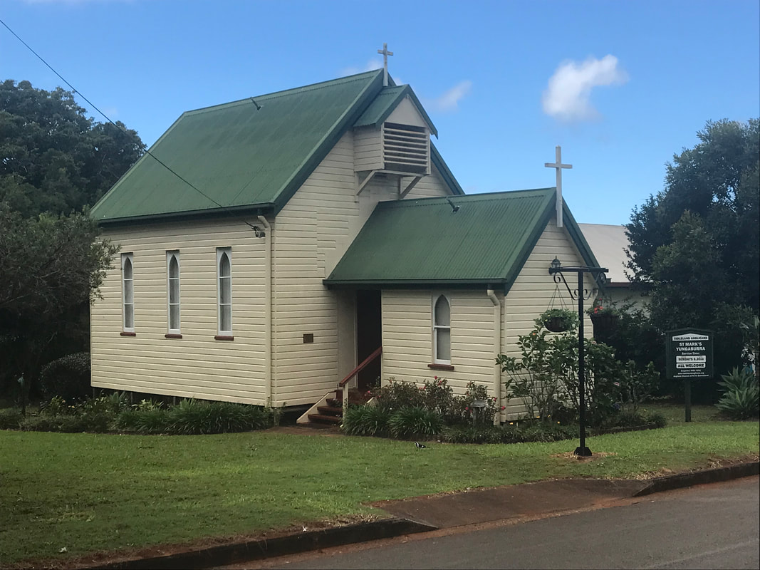
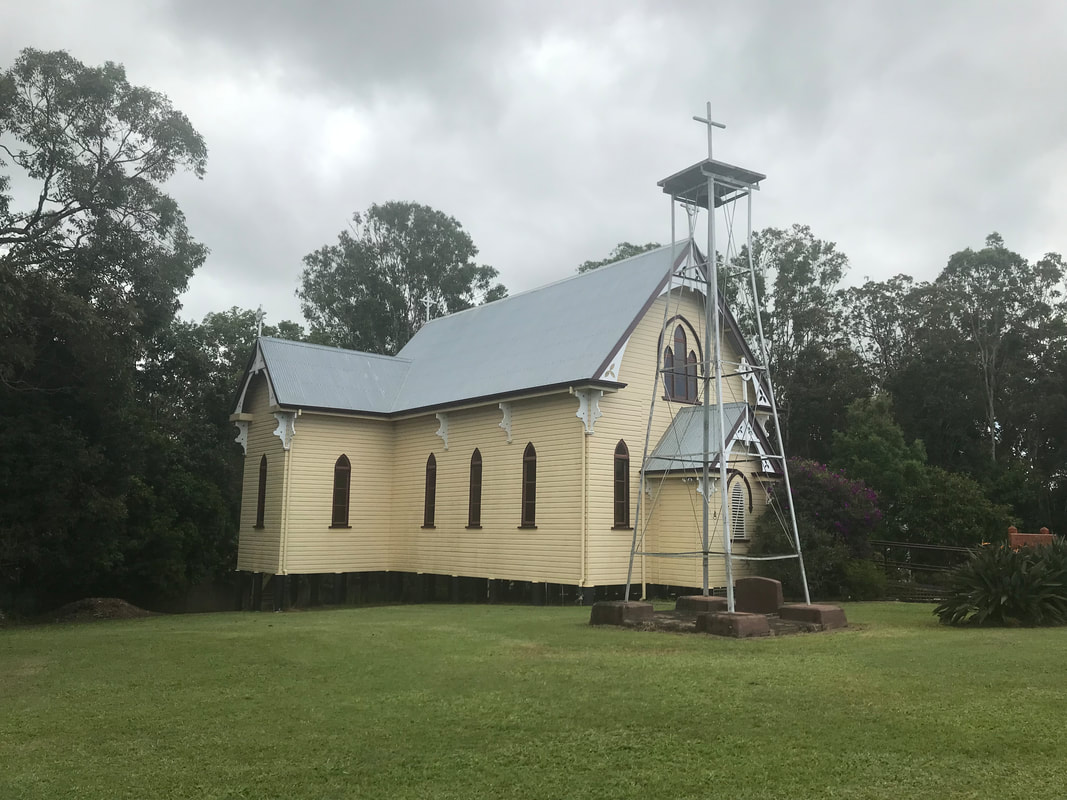
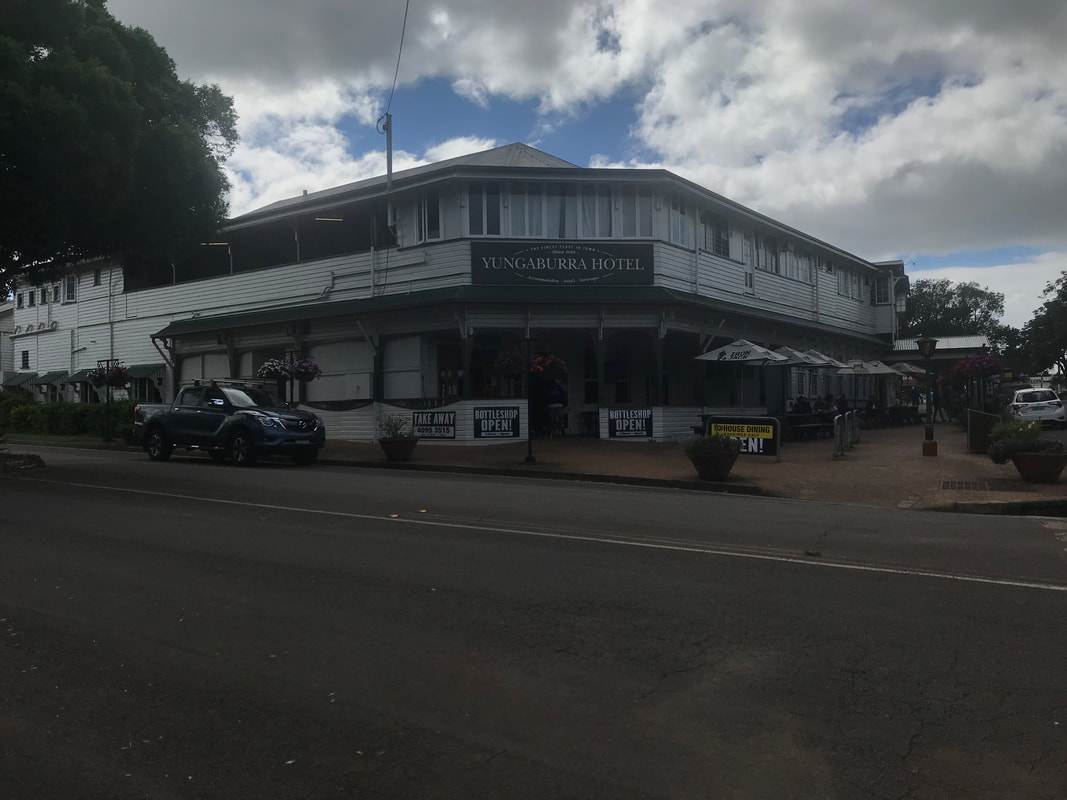
Although all the volcanoes in the Atherton Tablelands are regarded as being extinct and volcanism has been waning over time, given the relatively recent activity, it is possible that further eruptions could occur in the future. The main population centres on the tablelands are Mareeba and Atherton. Smaller towns include Tolga, Malanda, Herberton, Kuranda, Ravenshoe, Millaa Millaa, Chillagoe, Dimbulah, Mt Garnet, Mt Molloy, Tinaroo and Yungaburra. We really enjoy our lunch stop in the locality of Yungaburra. This town is a delightful area full of quaint wooden buildings, including two very beautiful timber churches which have been painted classically. We are disappointed to find that the two days the town-people believe are days off, are Mondays and Tuesdays and as we are visiting on a Tuesday, we find most of the shops closed. One cafe is open and doing hectic business as everyone enjoys their lunch.
Cooktown Cookies - 3 nights
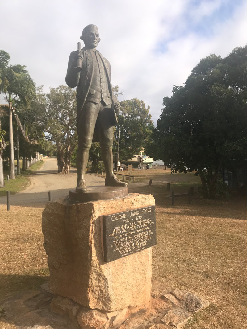
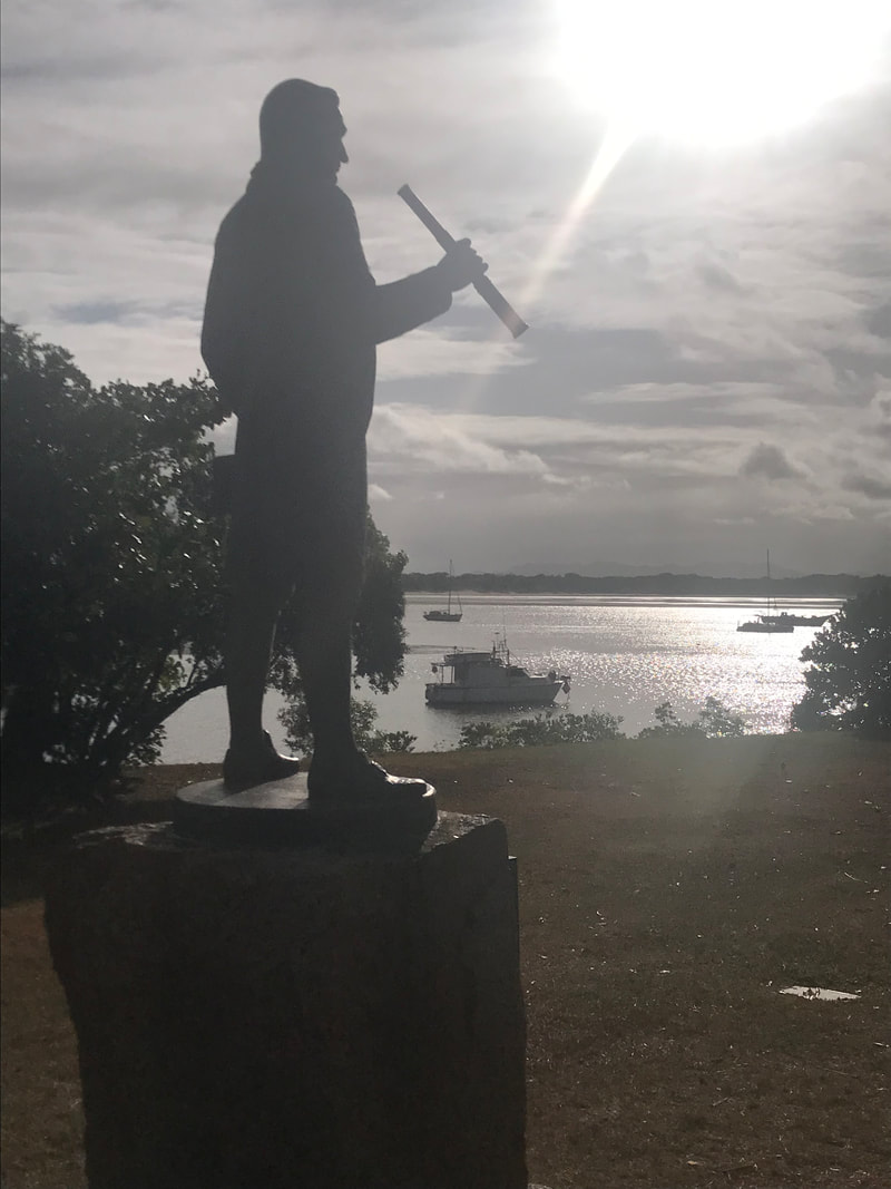
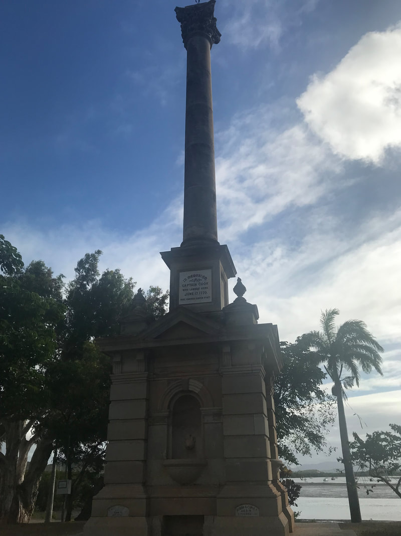
The site of modern Cooktown was the meeting place of two vastly different cultures when, in June 1770, the local Aboriginal Guugu Yimithirr tribe cautiously watched the crippled Endeavour – limp up the coast seeking a safe harbour after sustaining serious damage to its wooden hull on the Endeavour Reef, south of Cooktown. The Guugu Yimithirr people saw the Endeavour beach in the calm waters near the mouth of their river, which they called "Wahalumbaal".
The captain of the Endeavour, Lieutenant James Cook, wrote:
". . . it was happy for us that a place of refuge was at hand; for we soon found that the ship would not work, and it is remarkable that in the whole course of our voyage we had seen no place that our present circumstances could have afforded us the same relief".
The British crew spent seven weeks on the site of present-day Cooktown, repairing their ship, replenishing food and water supplies, and caring for their sick.
The first recorded sighting of kangaroos by Europeans was on Grassy Hill above the town, which rises above the place where the ship was beached. Cook climbed this hill to work out a safe passage for the Endeavour to sail through the surrounding reefs, after it was repaired.
Some one hundred years later in 1872, William Hann discovered gold in the Palmer River, about 200km inland from the Endeavour River. His findings were reported to James Mulligan who led an expedition to the Palmer River in 1873. Thus began the gold rush that was to bring prospectors from all over the world.
The Palmer River Goldfields and its centre, Maytown grew quickly, the recorded output of gold from 1873 to 1890 was over half a million ounces (more than 15,500 kg). Cooktown was the port through which this gold was exported and supplies for the goldfields brought in.
During the Second World War, Cooktown became an important base for the war effort. The civilian population of Cooktown was encouraged to evacuate in the face of the Japanese advances and by 1942 the vast majority had left. Some 20,000 Australian and American troops were stationed in and around the town. The busy airfield played a key role in the crucial Battle of the Coral Sea when Japanese expansion towards the Australian mainland was finally halted.
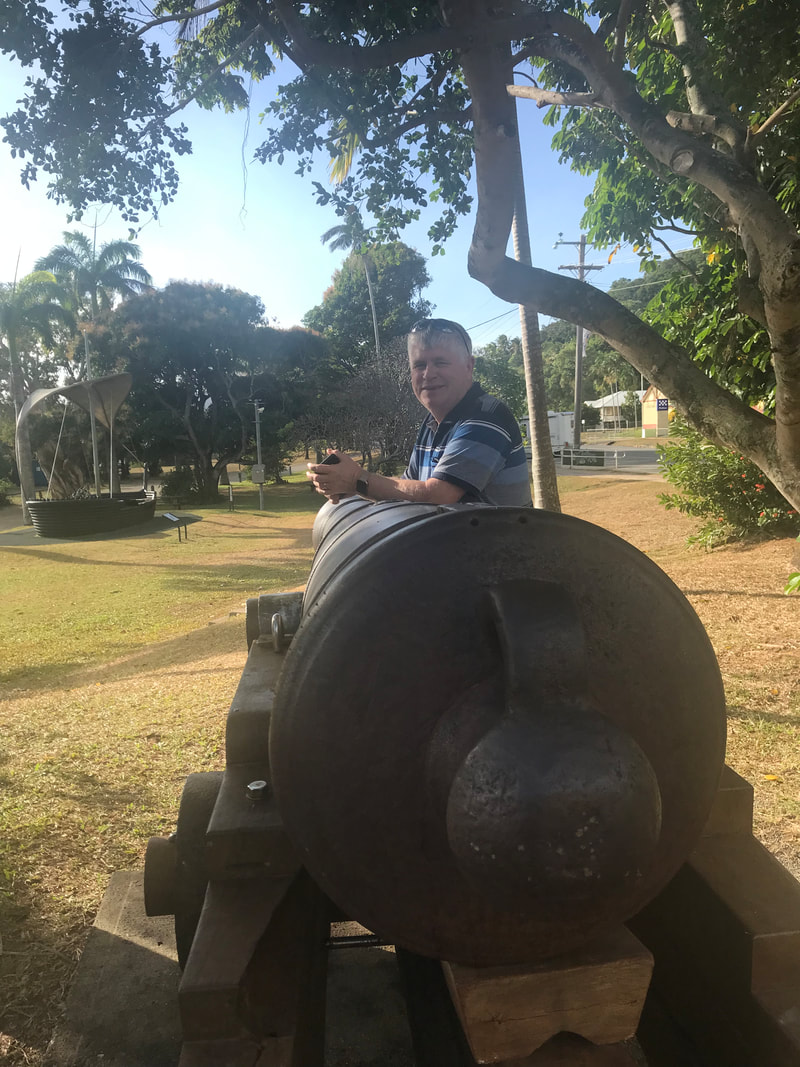
The James Cook Museum has been established in St Mary’s Convent building. This building was evacuated during the war years during which a radio signalling base was established. Now the Museum represents a graceful blending of the three histories which intersect here. As we enter, on display in a glassed room is the Anchor and a cannon from the ship, Endeavour. When the ship was damaged on the Great Barrier Reef, ballast had to be quickly unloaded to allow the ship to release itself from the reef. It took ‘til 1969 and purely by good luck rather than good management for these precious artefacts of Cook’s expedition to be found. On the floor above other maritime artefacts, we find a thorough history of the Convent and its inhabitants themselves and then in the front-most rooms a very effective record of the original Aboriginal occupants of this beautiful part of the Queensland coastline.
Tomorrow we will investigate the town cemetery and travel around surrounding waterfalls prior to indulging in a sunset cruise on the Endeavour River - a just ending to this little interlude in Cook’s footsteps.
The captain of the Endeavour, Lieutenant James Cook, wrote:
". . . it was happy for us that a place of refuge was at hand; for we soon found that the ship would not work, and it is remarkable that in the whole course of our voyage we had seen no place that our present circumstances could have afforded us the same relief".
The British crew spent seven weeks on the site of present-day Cooktown, repairing their ship, replenishing food and water supplies, and caring for their sick.
The first recorded sighting of kangaroos by Europeans was on Grassy Hill above the town, which rises above the place where the ship was beached. Cook climbed this hill to work out a safe passage for the Endeavour to sail through the surrounding reefs, after it was repaired.
Some one hundred years later in 1872, William Hann discovered gold in the Palmer River, about 200km inland from the Endeavour River. His findings were reported to James Mulligan who led an expedition to the Palmer River in 1873. Thus began the gold rush that was to bring prospectors from all over the world.
The Palmer River Goldfields and its centre, Maytown grew quickly, the recorded output of gold from 1873 to 1890 was over half a million ounces (more than 15,500 kg). Cooktown was the port through which this gold was exported and supplies for the goldfields brought in.
During the Second World War, Cooktown became an important base for the war effort. The civilian population of Cooktown was encouraged to evacuate in the face of the Japanese advances and by 1942 the vast majority had left. Some 20,000 Australian and American troops were stationed in and around the town. The busy airfield played a key role in the crucial Battle of the Coral Sea when Japanese expansion towards the Australian mainland was finally halted.
The James Cook Museum has been established in St Mary’s Convent building. This building was evacuated during the war years during which a radio signalling base was established. Now the Museum represents a graceful blending of the three histories which intersect here. As we enter, on display in a glassed room is the Anchor and a cannon from the ship, Endeavour. When the ship was damaged on the Great Barrier Reef, ballast had to be quickly unloaded to allow the ship to release itself from the reef. It took ‘til 1969 and purely by good luck rather than good management for these precious artefacts of Cook’s expedition to be found. On the floor above other maritime artefacts, we find a thorough history of the Convent and its inhabitants themselves and then in the front-most rooms a very effective record of the original Aboriginal occupants of this beautiful part of the Queensland coastline.
Tomorrow we will investigate the town cemetery and travel around surrounding waterfalls prior to indulging in a sunset cruise on the Endeavour River - a just ending to this little interlude in Cook’s footsteps.
| |