 |   |
Nā pali Coast
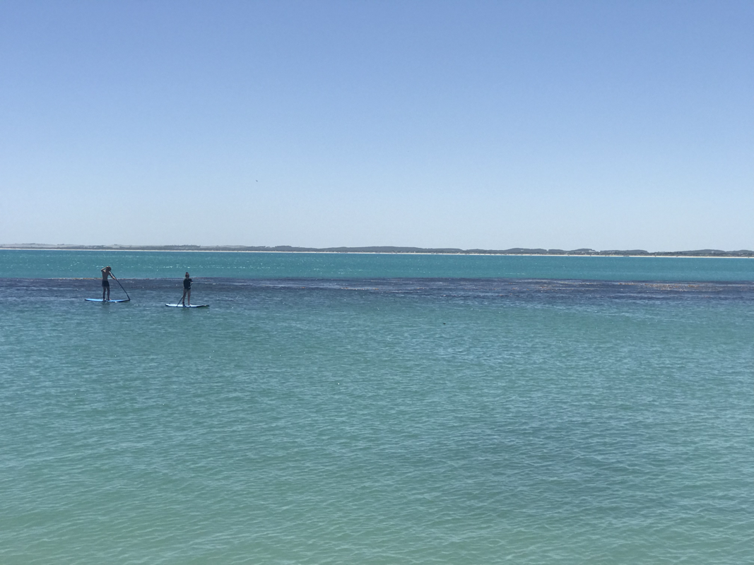
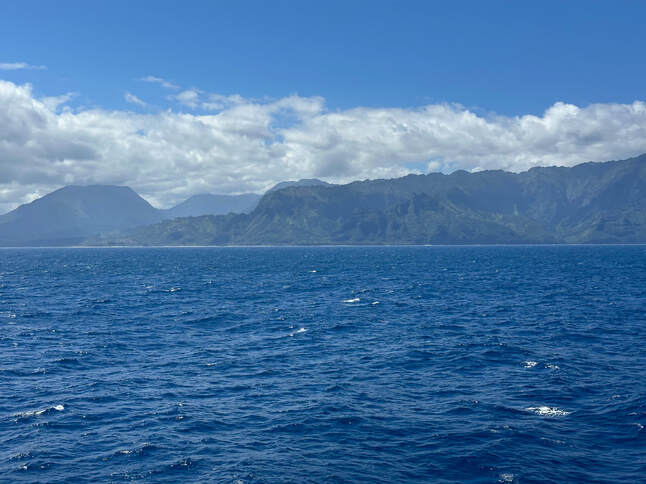
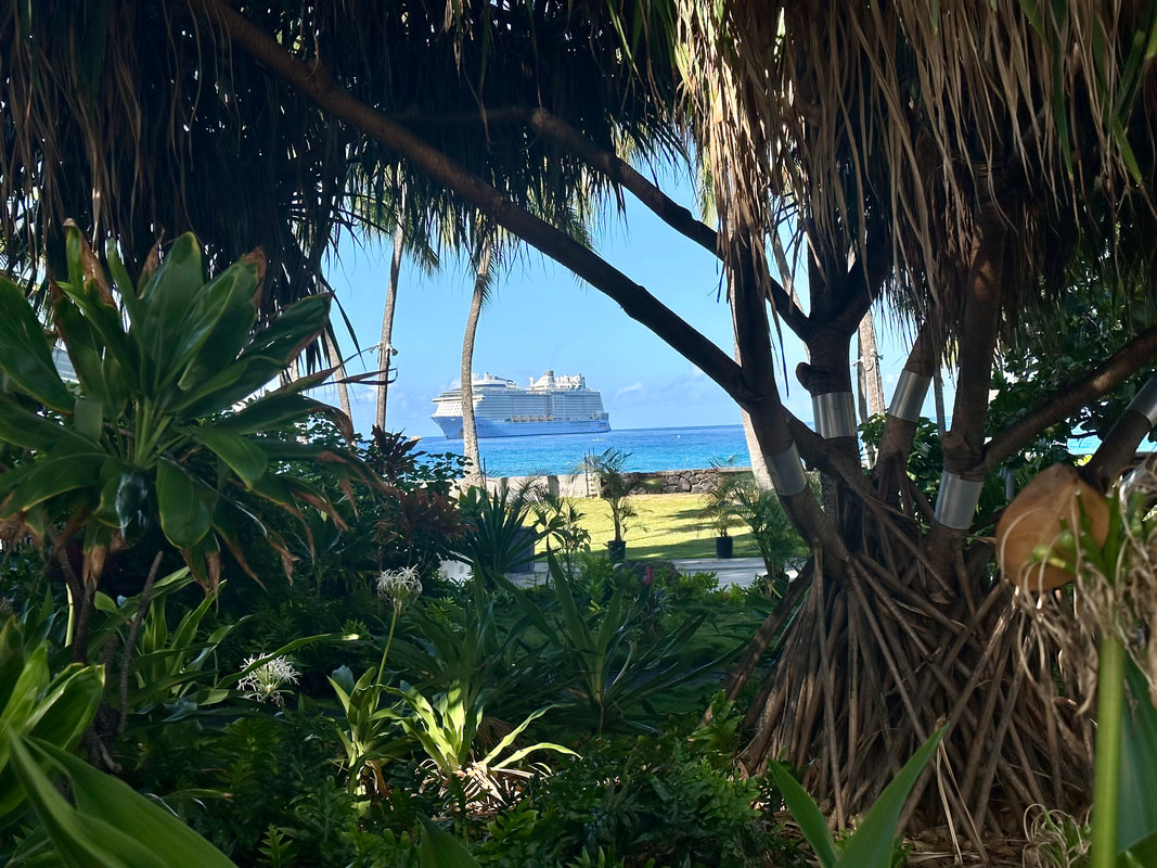
After leaving Kauai’i’s North Shore we cruise past this section of coastline known for its iconic, mountainous shoreline. As we are eating lunch, some 90 minutes from cast off, these huge cliffs can be discerned through our window. Spanning 17 miles along Kauaʻi’s North Shore, the Nāpali Coast is a sacred place defined by extraordinary natural beauty. These emerald-hued cliffs with razor-sharp ridges tower above the Pacific Ocean, revealing beautiful beaches and waterfalls that plummet to the lush valley floor. The rugged terrain appears much as it did centuries ago when Hawaiian settlements flourished in these deep, narrow valleys, existing only on the food they could grow and the fish they could catch. They display all the colours of the rainbow apparently but all I can see are sandstone coloured rock formations.
Unfortunately one thing Social Media has brought to the fore are people who really shouldn’t be sharing their thoughts with everybody else. Remember that old adage; ‘Empty vessels make the most Sound’? Well someone has put up a post on the Facebook page for our cruise that she is most disappointed about missing seeing the cliffs because her balcony was on the Starboard side of the vessel. She was hoping that the Captain would do a circuit or spin around in front of the cliffs to allow her to capture them on her phone. After all, walking from one side of the ship to the other in the public areas where vistas can be spied, is so much trouble, it would seem! I hope her phone was as embarrassed as she should have been by this supposedly discerning comment . Some people shouldn’t breed!
The majestic Manawaiopuna Falls was a backdrop in the film "Jurassic Park." Whichever tour you choose, the natural splendor of the Nāpali Coast will leave a deep impression on your soul.
The first western visitors to Kona and the Volcanoes specifically were English missionary William Ellis and American Asa Thurston. They went to Kīlauea in 1823. Ellis wrote of his reaction to the first sight of the erupting volcano:
″A spectacle, sublime and even appalling, presented itself before us. 'We stopped and trembled.' Astonishment and awe
for some moments rendered us mute, and, like statues, we stood fixed to the spot, with our eyes riveted on the abyss
below.″
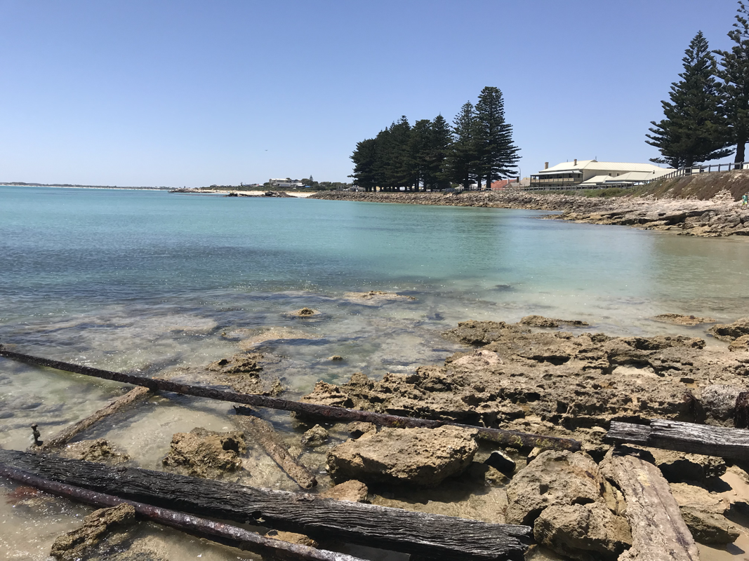
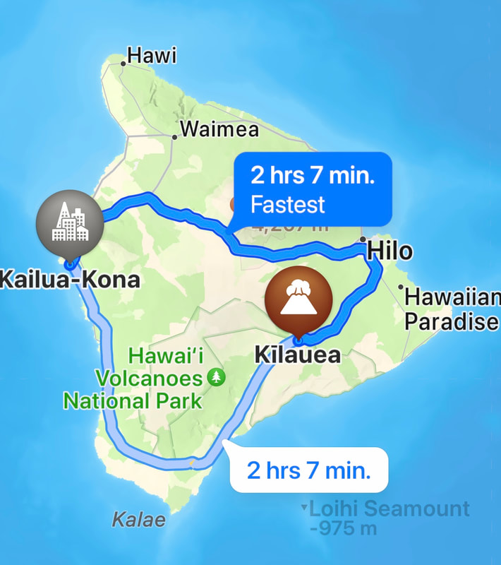
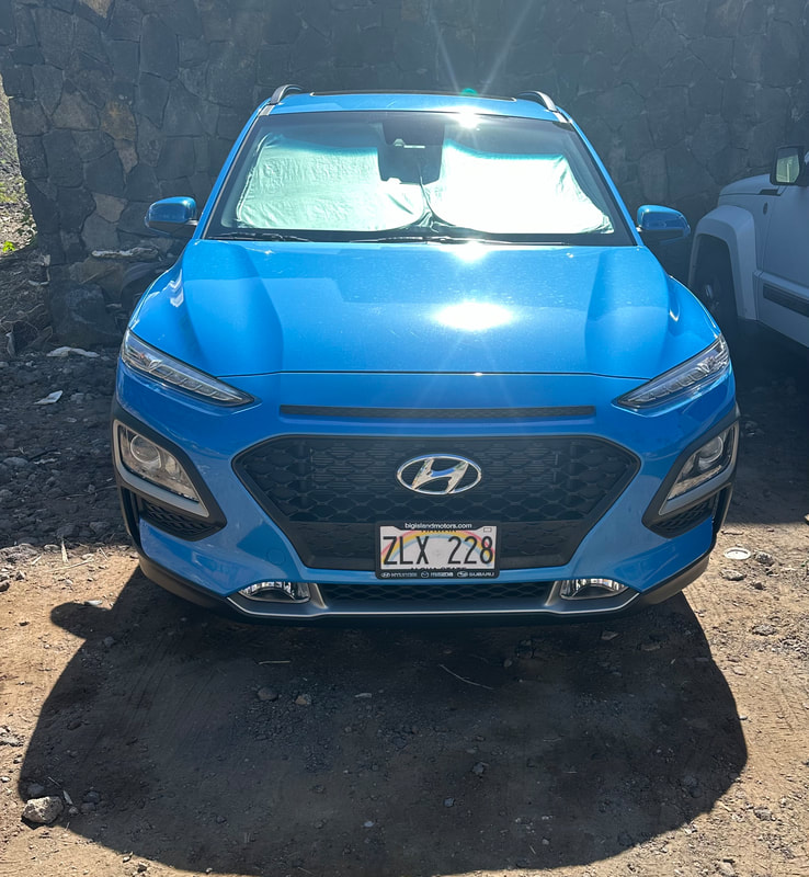
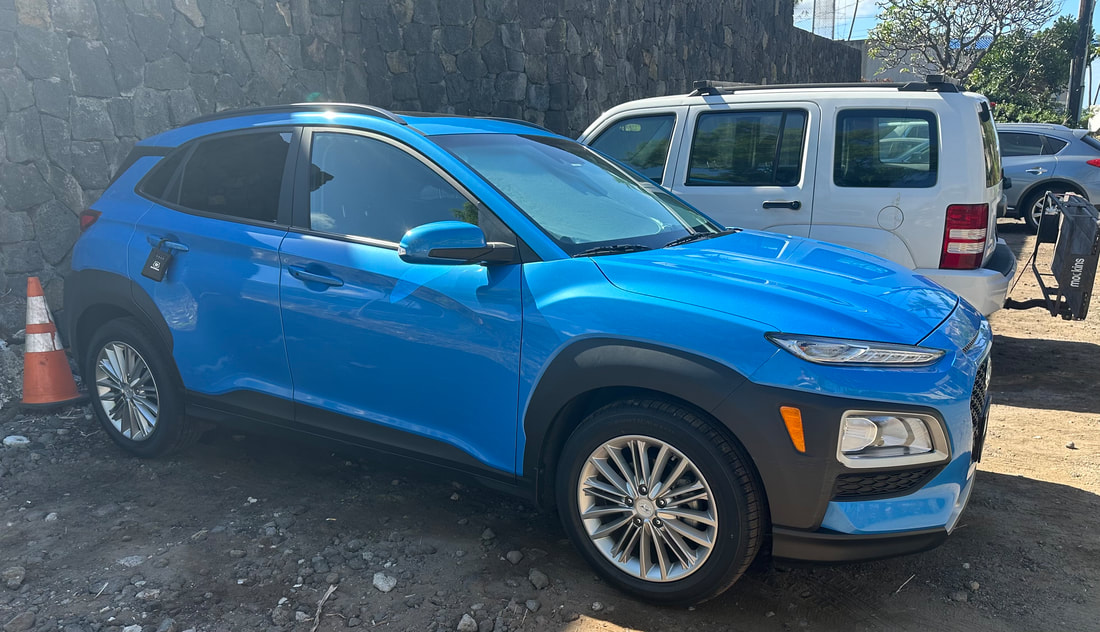
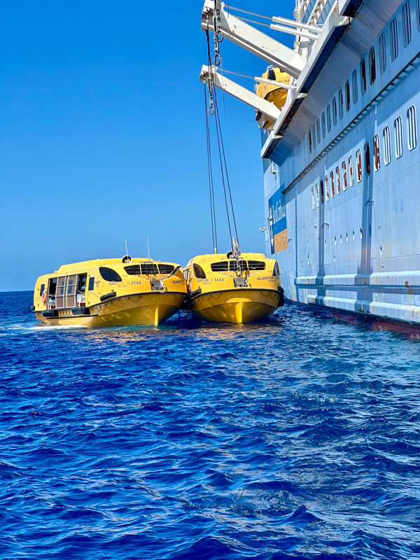
Kona is strongly associated with Kona coffee of Hawaii. The Hawaiian word kona means "leeward" or "dry side of the island," and Kona districts are where Kona coffee is grown. It's a unisex name in Hawaii, with an appealing simple, strong sounding name. It is also the name of our cute Blue chariot which will take is to the Volcanoes National Park. We have hired this vehicle through an App known as Turo which allows us to hire someone’s private vehicle that they are not using for a significantly cheaper price than renting a hire car. The difficulty for us is getting off the ship to access it! Kailua Kona island is accessed via tender boat. Our tender ticket is no 4. The tenders are supposed to commence at 7.00am and we’ve booked the car from 8.00 am. We have quite a big day of driving to complete. Even though the tenders were operating from Sunday and our visit is planned for Monday, the staff seem reluctant to get going. Finally, the first tender is in the water at 7.30 and although we are loaded aboard it, we don’t leave until the tender is nearly full - people are a bit slow waking up and getting organised to come across for a day of swimming etc. Once ashore, we have a 20 minute walk to where the car is parked, so we don’t really get going until about 8.15 am. There is a two-hour drive to the Volcanoes National park.
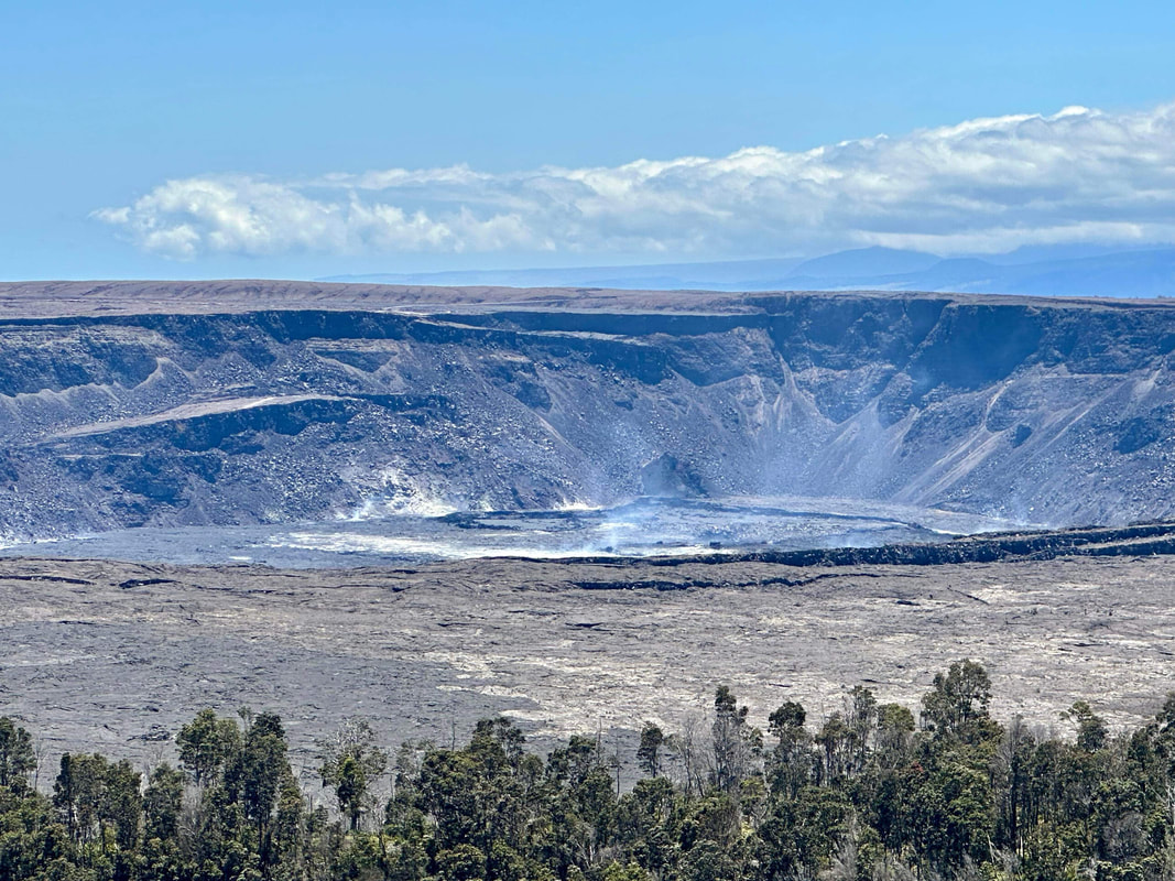
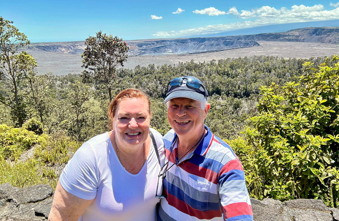
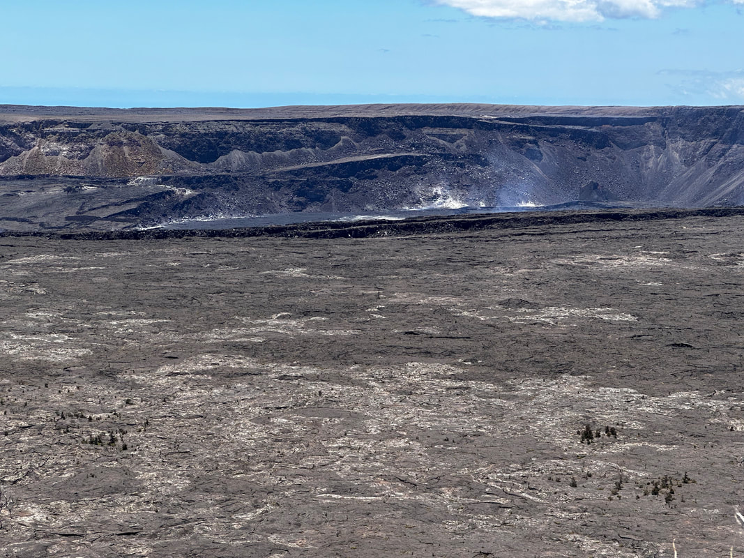
Hawaii Volcanoes National Park is on Hawaii Island (the Big Island). At its heart are the Kīlauea and Mauna Loa active volcanoes. The Crater Rim Drive passes steam vents and the Jaggar Museum, which features volcanology exhibits and a viewpoint overlooking Halema'uma'u Crater. Also thick ferns mark the entrance to the Thurston Lava Tube (Nāhuku). The Chain of Craters Road weaves over lava. Trails crisscross the park. This National Park was established in 1916 when 529 square miles or 1,396 square kilometres was set aside. To date the Park has welcomed 1,620,294 visitors.
Nearly 180 years ago, a young New England missionary couple arrived in Hilo. It was here that they spent the next 50 years of their lives. Today, Lyman Mission House is the oldest wood-frame building on Hawaii’s island. Built in 1839 by David and Sarah Lyman, the house is constructed partly of local hardwoods and is furnished with original period decor.
Kilauea summit is 4000 feet above sea level and is rainy and chilly most of the time. As we scoot along on what appears to be secondary roads travelling in an anti-clockwise direction on a ring road which will take 4 hours to compete, I have the joy of being able to observe the wonderful views. As it turns out, these roads have previously been compromised by eruptions which have produced fissures and other damage to the bitumen. Stephen has done well navigating us out of Kona and toward the other side of the island, using his previously acquired skill of driving on the right-hand side of the road and being led by off-line maps downloaded from the web before we left. Later on, this plan will backfire somewhat but I’ll explain this later.). Several times I spy a sign saying Nene crossing and wonder if it was a spelling mistake or perhaps I had mis read the sign, but No, Nene is an Hawaiian Goose .
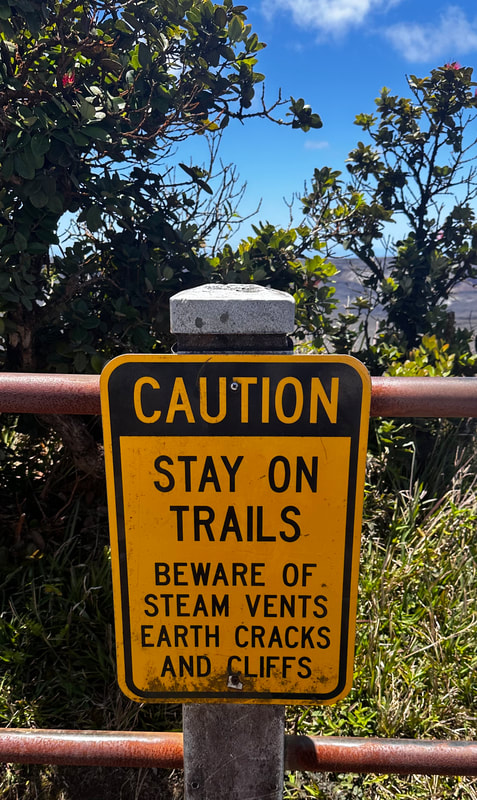
Hawaiʻi Volcanoes National Park encompasses two active volcanoes: Kilauea, one of the world's most active volcanoes, and Mauna Loa the world's largest shield volcano. For visitors, the park offers dramatic volcanic landscapes, glimpses of rare flora and fauna, and a view into the traditional Hawaiian culture connected to these landscapes. Hiking in the area is popular but visitors are warned that Lava fields are shadeless and hot, and it is advisable to wear sunscreen - they really cannot have sunburned visitors even though it’s unlikely sunscreen would assist that much when caught in a lava flow!
On May 11, 2018, the park was closed to the public in the Kilauea volcano summit area, including the visitor center and park headquarters, due to explosions and toxic ash clouds as well as earthquakes and road damage. Portions of the park, including the visitor center, reopened to the public on September 22, 2018. As of early 2022, most of the park is now open; however, some road segments and trails as well as the Jaggar Museum of the Hawaiian Volcano Observatory are still closed to visitors.
Eruptive activity, ground collapses and explosions in the park ceased in early August 2018, but the lull in eruptive activity at Kīlauea continued until an eruption on December 20, 2020, at the Halemaʻumaʻu crater. The park includes 1,308.88 km2 of land. Around half of the park (529 km2) was designated the Hawaii Volcanoes Wilderness area in 1978 which provides solitude for hiking and camping. Wilderness designation covers the northwestern extension of the National Park, including Mokuaweoweo the summit of the volcano Mauna Loa. In the southwestern portion of the park, a large chunk of wilderness includes several miles of coastline and a small portion southeast of the visitors center. The park encompasses diverse environments from sea level to the summit of the Earth's most massive active volcano, Mauna Loa, at 13,679 feet (4,169 m). This Volcano was closed to visitors in late January this year and remains such. Climates range from lush tropical rain forests, to the arid and desert. Recently eruptive sites include the main caldera of Kilauea and a more active but remote vent called Pu’u O’o.
The main entrance to the park is from the Hawaii Belt Road. The Chain of Craters Road leads to the coast, passing several craters from historic eruptions. The road had continued to another park entrance near the town of Kalapana but that portion is covered by a lava flow, and is only available as an emergency evacuation route. I cannot help but notice the ‘historic lava flows’ as we traverse the northern side of the island on our circular return. Large tracks of rocky, sharp looking rocks which are stacked in a ridge formation make it easier to imagine what it might have looked like when the lava was liquid and molten and heading for the sea. We pass some Nene Crossing signs where known families of the goose live in the tall grasses beside the road, but I also notice heaps of black goats grazing by the roadside. As we are travelling at 60mph on our way back, I hope no one decides to step out onto the bitumen! Unlike our travels on NT roads, there is no sign of previous suicide ventures, so they must have gotten very used to living in this dangerous environment made a little more palatable because the lava is very good fertiliser and encourages the growth of plants they like to eat.
We plan to leave the volcanos by 1.30pm to allow for the two hours drive back to Kona. This will allow a buffer of one hour from the last tender from the island at 5.00pm. This gives us nearly an hour to deposit our little blue chariot back where she belongs and walk to the ship. Here is where we very nearly come unstuck. Following the map to the letter brings us to a complete stop outside a school - for over 15 minutes. Several travellers are making u-turns and going a different way, but because our off-line maps aren’t calibrated to divert to avoid traffic hold-ups, we have no choice but to stay in line until we can get past the bunch of mums picking up their little whipper-snappers.
After leaving Kauai’i’s North Shore we cruise past this section of coastline known for its iconic, mountainous shoreline. As we are eating lunch, some 90 minutes from cast off, these huge cliffs can be discerned through our window. Spanning 17 miles along Kauaʻi’s North Shore, the Nāpali Coast is a sacred place defined by extraordinary natural beauty. These emerald-hued cliffs with razor-sharp ridges tower above the Pacific Ocean, revealing beautiful beaches and waterfalls that plummet to the lush valley floor. The rugged terrain appears much as it did centuries ago when Hawaiian settlements flourished in these deep, narrow valleys, existing only on the food they could grow and the fish they could catch. They display all the colours of the rainbow apparently but all I can see are sandstone coloured rock formations.
Unfortunately one thing Social Media has brought to the fore are people who really shouldn’t be sharing their thoughts with everybody else. Remember that old adage; ‘Empty vessels make the most Sound’? Well someone has put up a post on the Facebook page for our cruise that she is most disappointed about missing seeing the cliffs because her balcony was on the Starboard side of the vessel. She was hoping that the Captain would do a circuit or spin around in front of the cliffs to allow her to capture them on her phone. After all, walking from one side of the ship to the other in the public areas where vistas can be spied, is so much trouble, it would seem! I hope her phone was as embarrassed as she should have been by this supposedly discerning comment . Some people shouldn’t breed!
The majestic Manawaiopuna Falls was a backdrop in the film "Jurassic Park." Whichever tour you choose, the natural splendor of the Nāpali Coast will leave a deep impression on your soul.
The first western visitors to Kona and the Volcanoes specifically were English missionary William Ellis and American Asa Thurston. They went to Kīlauea in 1823. Ellis wrote of his reaction to the first sight of the erupting volcano:
″A spectacle, sublime and even appalling, presented itself before us. 'We stopped and trembled.' Astonishment and awe
for some moments rendered us mute, and, like statues, we stood fixed to the spot, with our eyes riveted on the abyss
below.″
Kona is strongly associated with Kona coffee of Hawaii. The Hawaiian word kona means "leeward" or "dry side of the island," and Kona districts are where Kona coffee is grown. It's a unisex name in Hawaii, with an appealing simple, strong sounding name. It is also the name of our cute Blue chariot which will take is to the Volcanoes National Park. We have hired this vehicle through an App known as Turo which allows us to hire someone’s private vehicle that they are not using for a significantly cheaper price than renting a hire car. The difficulty for us is getting off the ship to access it! Kailua Kona island is accessed via tender boat. Our tender ticket is no 4. The tenders are supposed to commence at 7.00am and we’ve booked the car from 8.00 am. We have quite a big day of driving to complete. Even though the tenders were operating from Sunday and our visit is planned for Monday, the staff seem reluctant to get going. Finally, the first tender is in the water at 7.30 and although we are loaded aboard it, we don’t leave until the tender is nearly full - people are a bit slow waking up and getting organised to come across for a day of swimming etc. Once ashore, we have a 20 minute walk to where the car is parked, so we don’t really get going until about 8.15 am. There is a two-hour drive to the Volcanoes National park.
Hawaii Volcanoes National Park is on Hawaii Island (the Big Island). At its heart are the Kīlauea and Mauna Loa active volcanoes. The Crater Rim Drive passes steam vents and the Jaggar Museum, which features volcanology exhibits and a viewpoint overlooking Halema'uma'u Crater. Also thick ferns mark the entrance to the Thurston Lava Tube (Nāhuku). The Chain of Craters Road weaves over lava. Trails crisscross the park. This National Park was established in 1916 when 529 square miles or 1,396 square kilometres was set aside. To date the Park has welcomed 1,620,294 visitors.
Nearly 180 years ago, a young New England missionary couple arrived in Hilo. It was here that they spent the next 50 years of their lives. Today, Lyman Mission House is the oldest wood-frame building on Hawaii’s island. Built in 1839 by David and Sarah Lyman, the house is constructed partly of local hardwoods and is furnished with original period decor.
Kilauea summit is 4000 feet above sea level and is rainy and chilly most of the time. As we scoot along on what appears to be secondary roads travelling in an anti-clockwise direction on a ring road which will take 4 hours to compete, I have the joy of being able to observe the wonderful views. As it turns out, these roads have previously been compromised by eruptions which have produced fissures and other damage to the bitumen. Stephen has done well navigating us out of Kona and toward the other side of the island, using his previously acquired skill of driving on the right-hand side of the road and being led by off-line maps downloaded from the web before we left. Later on, this plan will backfire somewhat but I’ll explain this later.). Several times I spy a sign saying Nene crossing and wonder if it was a spelling mistake or perhaps I had mis read the sign, but No, Nene is an Hawaiian Goose .
Hawaiʻi Volcanoes National Park encompasses two active volcanoes: Kilauea, one of the world's most active volcanoes, and Mauna Loa the world's largest shield volcano. For visitors, the park offers dramatic volcanic landscapes, glimpses of rare flora and fauna, and a view into the traditional Hawaiian culture connected to these landscapes. Hiking in the area is popular but visitors are warned that Lava fields are shadeless and hot, and it is advisable to wear sunscreen - they really cannot have sunburned visitors even though it’s unlikely sunscreen would assist that much when caught in a lava flow!
On May 11, 2018, the park was closed to the public in the Kilauea volcano summit area, including the visitor center and park headquarters, due to explosions and toxic ash clouds as well as earthquakes and road damage. Portions of the park, including the visitor center, reopened to the public on September 22, 2018. As of early 2022, most of the park is now open; however, some road segments and trails as well as the Jaggar Museum of the Hawaiian Volcano Observatory are still closed to visitors.
Eruptive activity, ground collapses and explosions in the park ceased in early August 2018, but the lull in eruptive activity at Kīlauea continued until an eruption on December 20, 2020, at the Halemaʻumaʻu crater. The park includes 1,308.88 km2 of land. Around half of the park (529 km2) was designated the Hawaii Volcanoes Wilderness area in 1978 which provides solitude for hiking and camping. Wilderness designation covers the northwestern extension of the National Park, including Mokuaweoweo the summit of the volcano Mauna Loa. In the southwestern portion of the park, a large chunk of wilderness includes several miles of coastline and a small portion southeast of the visitors center. The park encompasses diverse environments from sea level to the summit of the Earth's most massive active volcano, Mauna Loa, at 13,679 feet (4,169 m). This Volcano was closed to visitors in late January this year and remains such. Climates range from lush tropical rain forests, to the arid and desert. Recently eruptive sites include the main caldera of Kilauea and a more active but remote vent called Pu’u O’o.
The main entrance to the park is from the Hawaii Belt Road. The Chain of Craters Road leads to the coast, passing several craters from historic eruptions. The road had continued to another park entrance near the town of Kalapana but that portion is covered by a lava flow, and is only available as an emergency evacuation route. I cannot help but notice the ‘historic lava flows’ as we traverse the northern side of the island on our circular return. Large tracks of rocky, sharp looking rocks which are stacked in a ridge formation make it easier to imagine what it might have looked like when the lava was liquid and molten and heading for the sea. We pass some Nene Crossing signs where known families of the goose live in the tall grasses beside the road, but I also notice heaps of black goats grazing by the roadside. As we are travelling at 60mph on our way back, I hope no one decides to step out onto the bitumen! Unlike our travels on NT roads, there is no sign of previous suicide ventures, so they must have gotten very used to living in this dangerous environment made a little more palatable because the lava is very good fertiliser and encourages the growth of plants they like to eat.
We plan to leave the volcanos by 1.30pm to allow for the two hours drive back to Kona. This will allow a buffer of one hour from the last tender from the island at 5.00pm. This gives us nearly an hour to deposit our little blue chariot back where she belongs and walk to the ship. Here is where we very nearly come unstuck. Following the map to the letter brings us to a complete stop outside a school - for over 15 minutes. Several travellers are making u-turns and going a different way, but because our off-line maps aren’t calibrated to divert to avoid traffic hold-ups, we have no choice but to stay in line until we can get past the bunch of mums picking up their little whipper-snappers.
Can’t leave you ‘hanging’. We did make it but in the last tender to depart for the ship. Stephen dropped me off at the ship and I had the unenviable task of holding the guards at bay to allow for Stephen to slip onboard. The 20 minute walk was achieved by his jogging all the way. Best laid plans of mice and men and school children!