Lake Maraboon: 2 nights
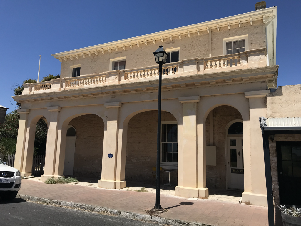
There’s no doubt about it, the difference between mining 150 years ago and today is extreme to say the least. Towns built upon the discovery of Gold all those years ago, like Charters Towers and even Bendigo in Victoria are recognisable by the solid structures built and the beauty of public buildings still in existence. Unquestionably welcome additions to the town. I remember Bendigo’s main street which curved gracefully around its parks and gardens and marble fronted banks, as if it had simply meandered into place. More likely the buildings were built wherever there wasn’t a gold seam, but nevertheless! In Charters Towers there are still a plethora of pubs, as any gold town worth its weight would have, but these are built with skill and with delicate iron lace work around the balconies. The marble town halls, public buildings and park rotundas have been touched with an earlier hand when grandiose and elegant times ruled. One can almost imagine ladies with their parasols sitting in chairs as men in their top hats and tails, dance attendance on them. No sign of the grit and sweat wrought in the service of wealth, just up the road, at the tailings. One pub in the Towers has been redesigned as a library and another is available for private receptions only. There’s a very definite nod to keeping the buildings of yesteryear in Charters Towers and it shows.
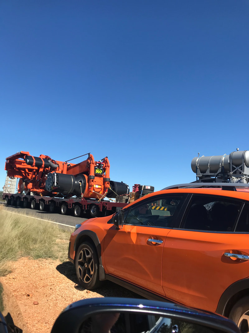
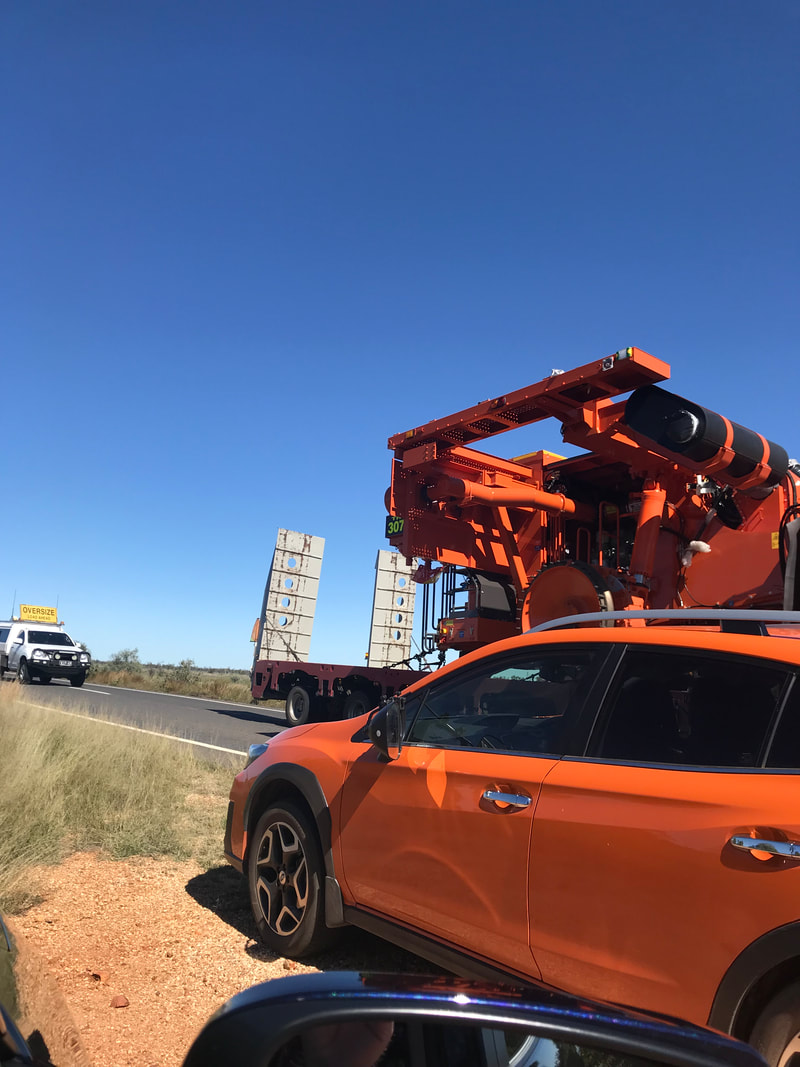
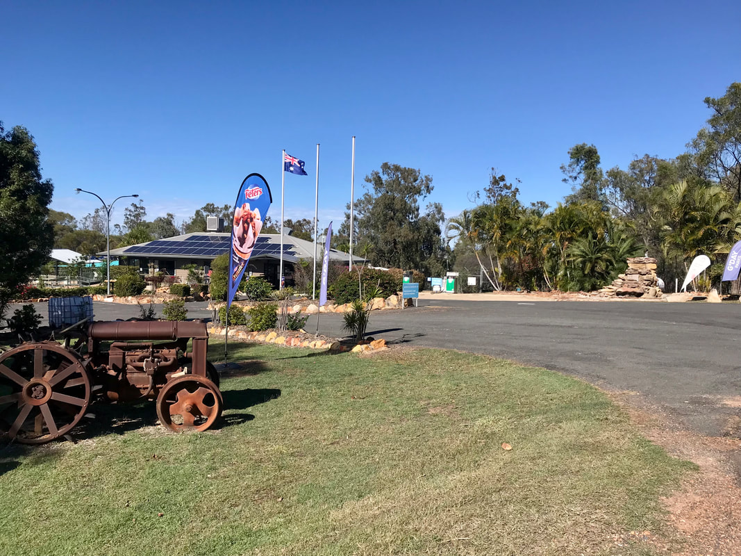
Today’s mining towns are so very different. Today in Emerald, men can be seen in dirty bright orange and yellow gabardine work shirts as they tromp about town in their work-a-day boots and jump out of business-like utilities. Their wives might be glimpsed at the supermarket dressed in tracksuits and jeans or behind counters wearing work shirts like their male counterparts. The most common building achievement is the establishment of mining ‘dongers’, residences as temporary as the unsuccessful efforts made to dig under them. There are well known farming and mining names here like “John Deere” and earthmoving companies such as “Armfleece” around town. The town entrance and exits are lined with large industry on either side of the road. Place names such as Clermont, Anakie, Blair Athol, Dysart, Middlemount, Blackwater, Rubyvale, South Copperfield and Sapphire surround us; each representing a mine established in the hope of extracting valuable minerals or gemstones from the soil. On the way to Emerald, we are directed by police vehicles and pilots to leave the road entirely and so we pull up on gravel and wait for five minutes for a very large vehicle to pass through. We think its a drill or similar but it takes up the whole double lane road. Tim, our son, who worked for a few years in this area, says that this is a common sight as mines move their machinery around to better use it to purpose.
There’s no doubt about it, the difference between mining 150 years ago and today is extreme to say the least. Towns built upon the discovery of Gold all those years ago, like Charters Towers and even Bendigo in Victoria are recognisable by the solid structures built and the beauty of public buildings still in existence. Unquestionably welcome additions to the town. I remember Bendigo’s main street which curved gracefully around its parks and gardens and marble fronted banks, as if it had simply meandered into place. More likely the buildings were built wherever there wasn’t a gold seam, but nevertheless! In Charters Towers there are still a plethora of pubs, as any gold town worth its weight would have, but these are built with skill and with delicate iron lace work around the balconies. The marble town halls, public buildings and park rotundas have been touched with an earlier hand when grandiose and elegant times ruled. One can almost imagine ladies with their parasols sitting in chairs as men in their top hats and tails, dance attendance on them. No sign of the grit and sweat wrought in the service of wealth, just up the road, at the tailings. One pub in the Towers has been redesigned as a library and another is available for private receptions only. There’s a very definite nod to keeping the buildings of yesteryear in Charters Towers and it shows.
Today’s mining towns are so very different. Today in Emerald, men can be seen in dirty bright orange and yellow gabardine work shirts as they tromp about town in their work-a-day boots and jump out of business-like utilities. Their wives might be glimpsed at the supermarket dressed in tracksuits and jeans or behind counters wearing work shirts like their male counterparts. The most common building achievement is the establishment of mining ‘dongers’, residences as temporary as the unsuccessful efforts made to dig under them. There are well known farming and mining names here like “John Deere” and earthmoving companies such as “Armfleece” around town. The town entrance and exits are lined with large industry on either side of the road. Place names such as Clermont, Anakie, Blair Athol, Dysart, Middlemount, Blackwater, Rubyvale, South Copperfield and Sapphire surround us; each representing a mine established in the hope of extracting valuable minerals or gemstones from the soil. On the way to Emerald, we are directed by police vehicles and pilots to leave the road entirely and so we pull up on gravel and wait for five minutes for a very large vehicle to pass through. We think its a drill or similar but it takes up the whole double lane road. Tim, our son, who worked for a few years in this area, says that this is a common sight as mines move their machinery around to better use it to purpose.
Emerald is a rural town and locality in the Central Highlands region with a population of 14,356. The town lives 270 kilometres from the Coral Sea coast and approximately 270 kilometres west of the city of Rockhampton and south of the Tropic of Capricorn. The traditional owners include the Gayiri people. The town takes its name from emerald and precious stones found in the area as well as from the pastoral run, Emerald Downs, assigned in 1860. Once again, I’ll keep my eye out! Extensive coal mining is carried out in the district, cotton is grown and processed at the Yamala Cotton Gin while other agricultural activities including grape, citrus and grain growing still proceed.
Lake Maraboon/Fairburn Dam
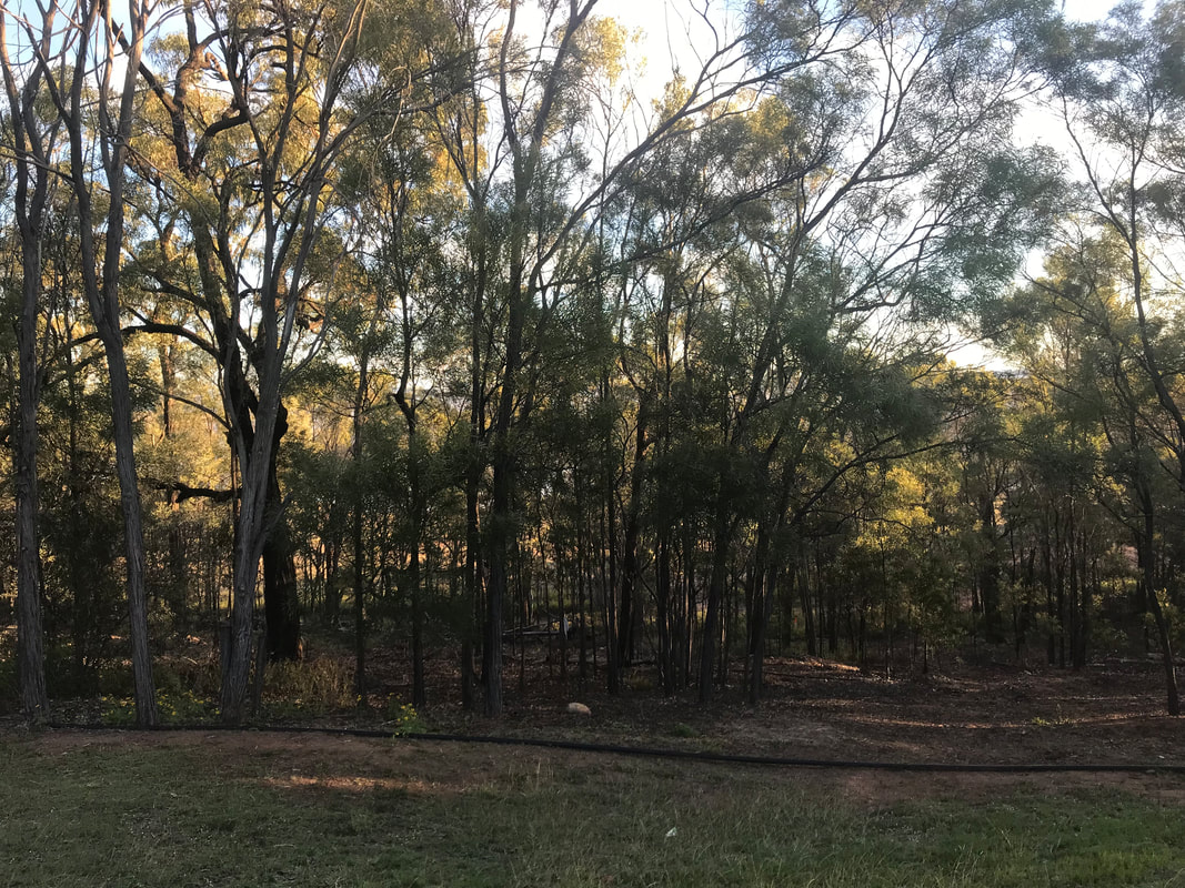
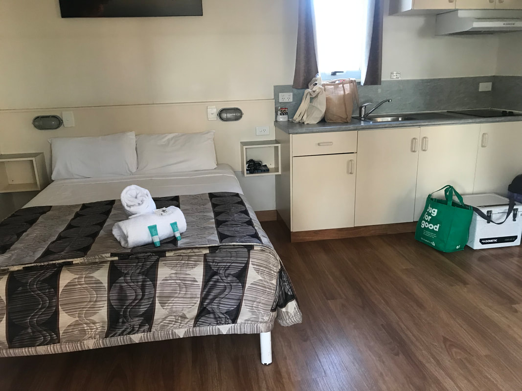
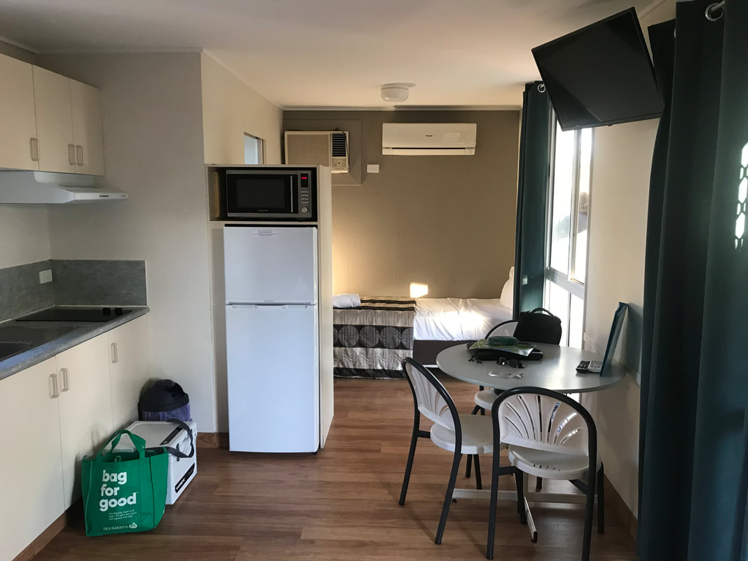
We are lodged for the next two nights beside the Fairbairn Dam at a spot called Lake Maraboon. We have a cabin with a sort of view of the lake but there are quite a few trees preventing a uninterrupted view! It’s still beautiful and the bird life here is amazing with Sulphur Crested Cockatoos and smaller parrots, Honeyeaters and Indian Minors keeping us company on our balcony. I had no idea how aggressive Indian Minors were, but when sitting in the sun, giving a couple of seagulls some biscuits, I was hit twice on the head by a bird - the first time, I thought it was an accident (although birds aren’t usually clumsy) and then when I got dive-bombed again, I decided the better part of valour was to retreat into the cabin.
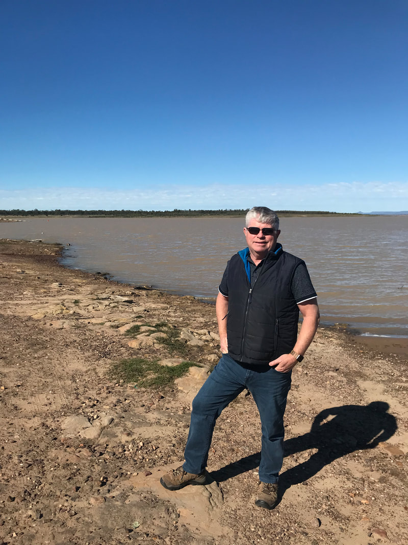
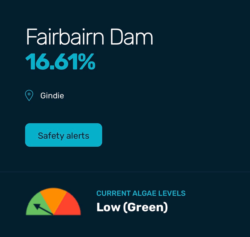
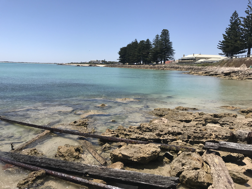
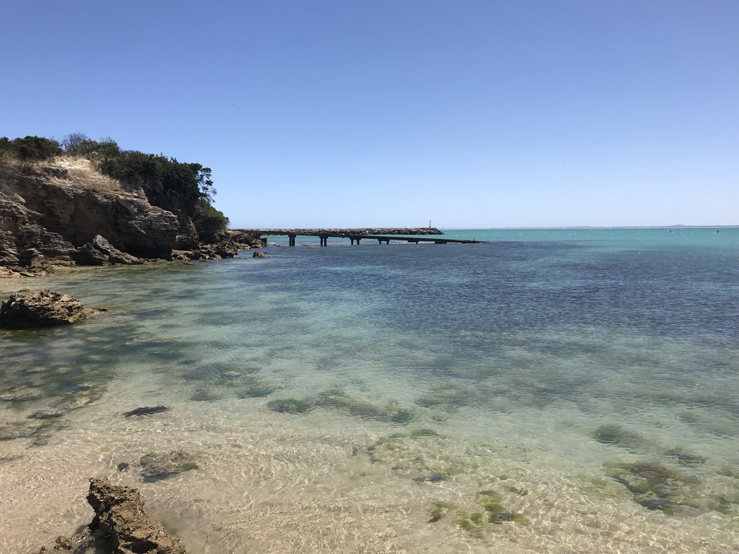
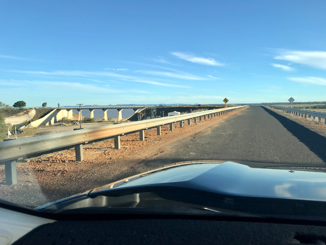
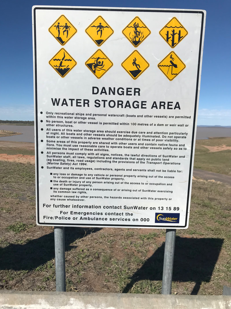
As we cross the Dam wall on our approach, we find very little water amassed and signs of a great reduction in stored water supplies, due no doubt to years of drought. Nevertheless, the Dam still attracts fisherman. Lake Maraboon has an active capacity of 1,301,000 ML and was formed by damming of the Nogoa River. In 2008, it was Queensland's second largest dam. Its capacity is approximately three times larger than Sydney Harbour. Maraboon is the Aboriginal for "where the black ducks fly".
To highlight the variability of our climate, in November 2006, the dam had reached its lowest level ever—just 14% of total capacity. Over that summer low inflows and high evaporation rates had dropped levels to 12%. On 18 January 2008, however water in the reservoir overflowed the dam spillway for the first time in 17 years, due to heavy local rain. Within 48 hours, the water level was about 3.5 metres (11 ft) over the spillway level, or 156% of active capacity. The water level peaked at about 4.5 metres (15 ft) on 22 January 2008. Downstream 2,700 residents had to be evacuated due to flooding. Seven days earlier, the lake was operating at 29% of full capacity.
We are lodged for the next two nights beside the Fairbairn Dam at a spot called Lake Maraboon. We have a cabin with a sort of view of the lake but there are quite a few trees preventing a uninterrupted view! It’s still beautiful and the bird life here is amazing with Sulphur Crested Cockatoos and smaller parrots, Honeyeaters and Indian Minors keeping us company on our balcony. I had no idea how aggressive Indian Minors were, but when sitting in the sun, giving a couple of seagulls some biscuits, I was hit twice on the head by a bird - the first time, I thought it was an accident (although birds aren’t usually clumsy) and then when I got dive-bombed again, I decided the better part of valour was to retreat into the cabin.
As we cross the Dam wall on our approach, we find very little water amassed and signs of a great reduction in stored water supplies, due no doubt to years of drought. Nevertheless, the Dam still attracts fisherman. Lake Maraboon has an active capacity of 1,301,000 ML and was formed by damming of the Nogoa River. In 2008, it was Queensland's second largest dam. Its capacity is approximately three times larger than Sydney Harbour. Maraboon is the Aboriginal for "where the black ducks fly".
To highlight the variability of our climate, in November 2006, the dam had reached its lowest level ever—just 14% of total capacity. Over that summer low inflows and high evaporation rates had dropped levels to 12%. On 18 January 2008, however water in the reservoir overflowed the dam spillway for the first time in 17 years, due to heavy local rain. Within 48 hours, the water level was about 3.5 metres (11 ft) over the spillway level, or 156% of active capacity. The water level peaked at about 4.5 metres (15 ft) on 22 January 2008. Downstream 2,700 residents had to be evacuated due to flooding. Seven days earlier, the lake was operating at 29% of full capacity.
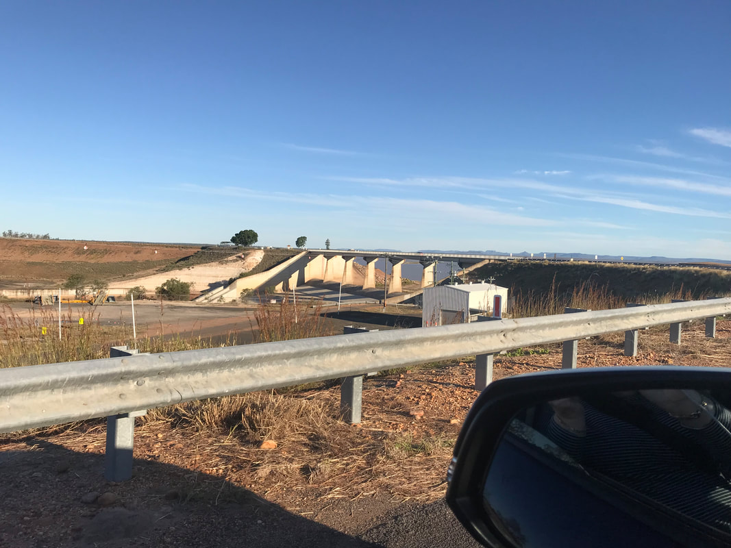
On 30 December 2010 during the 2010–11 Queensland floods, the Fairbairn Dam reached a peak of 176% of active capacity, with a reservoir elevation of 209.81 metres. Water was recorded at 5.58 metres (18.3 ft) above the spillway.
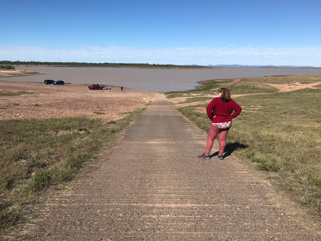
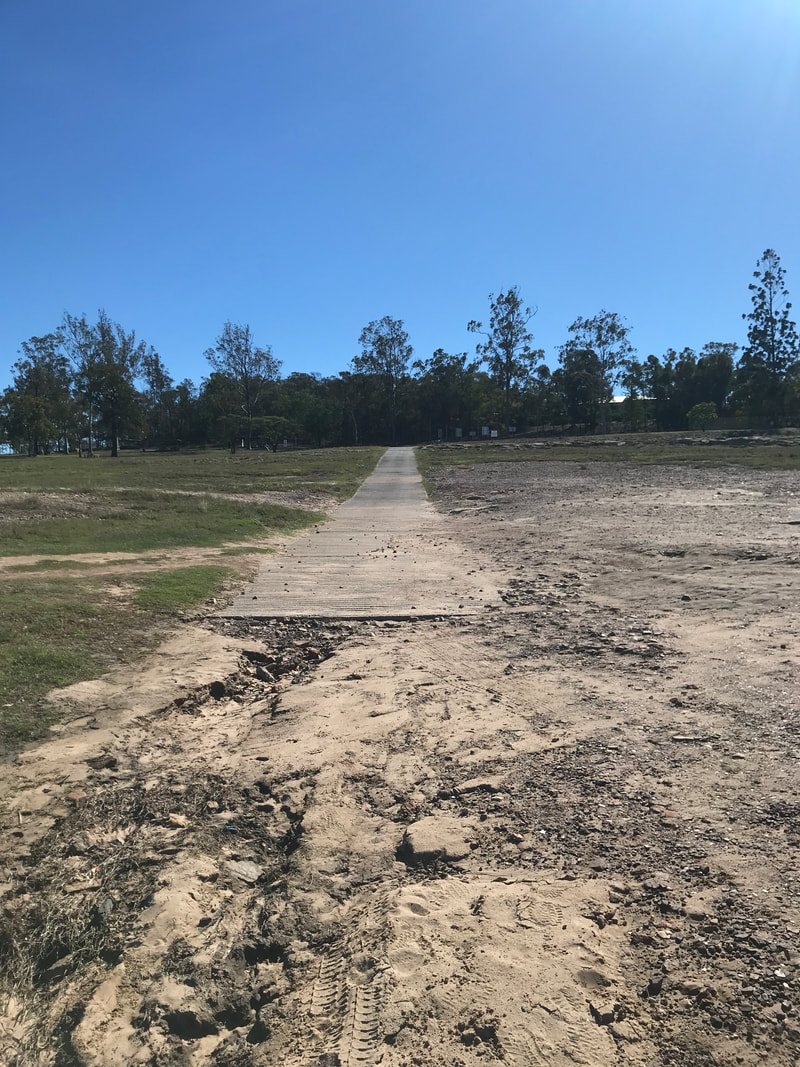
Dam capacities in Australia are frequently compared with the capacity of Sydney Harbour which holds approximately 500,000 megalitres. This would make the dam approximately 3 times the storage of Sydney Harbour in normal conditions and 4 times in extreme flood. On 29 December 2019 the Fairbairn Dam was at 9.6% capacity, the previous record low capacity was in December 2006 at 11.8%. You can see how reduced the level of the Dam is at the moment by visiting the Boat Ramp, which is 500 metres long.
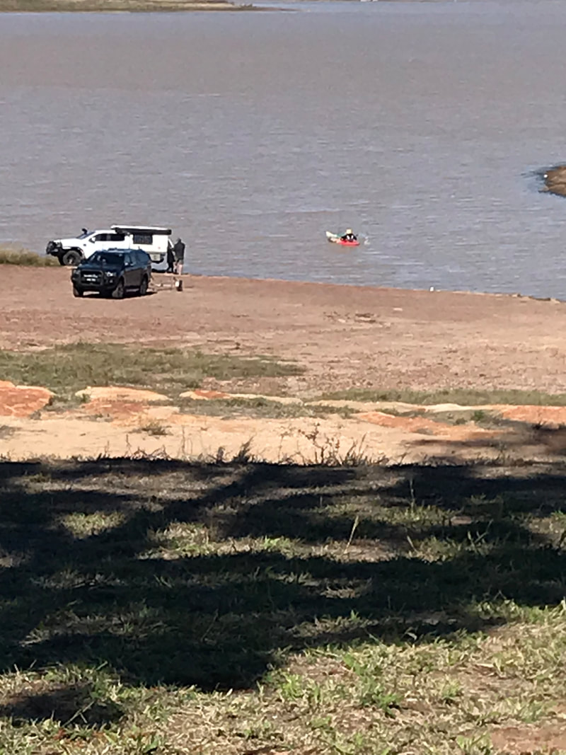
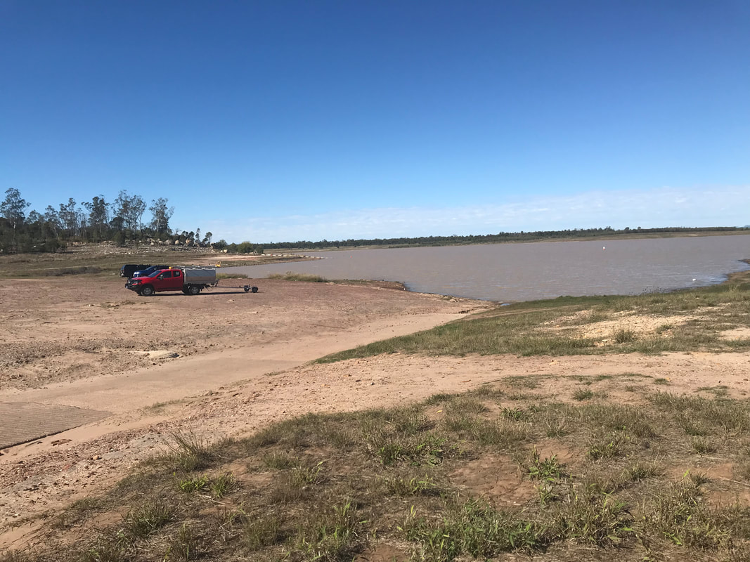
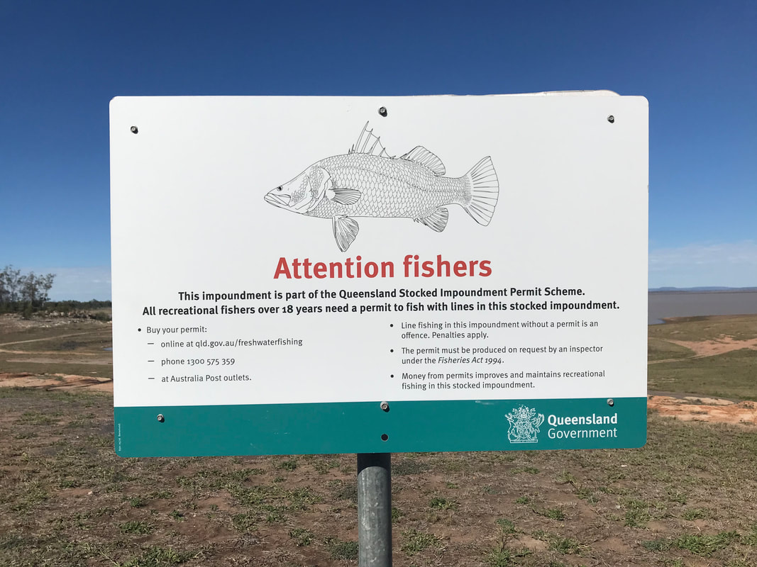
At any rate, with the chilly conditions we are experiencing today, we are not likely to be ‘dipping our toe in the dam’ so the surrounding residents are ok to keep drinking their water! As we stand by the chilly fringes of the lake, there are fishermen entering the waters to go fishing and I even see a kayaker heading out. In 2017, some 9,000 Barramundi and 39,500 Golden Perch and 7,150 Silver Perch were stocked in the Dam. Another favourite small crayfish caught in these waters is the Red Claw but fishermen are required to bag every frame of the Red Claw. I thought this might be a catch limit, but Stephen tells me it is to prevent smell of the rotting remains - it amazes me that people need to be told this!
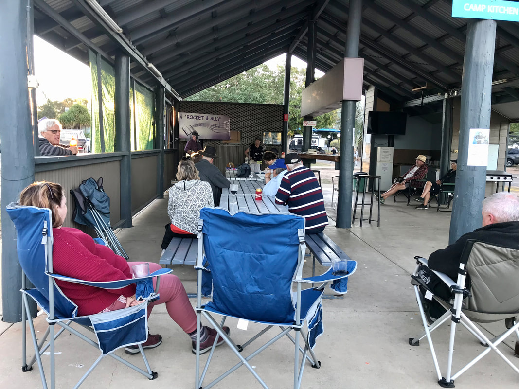
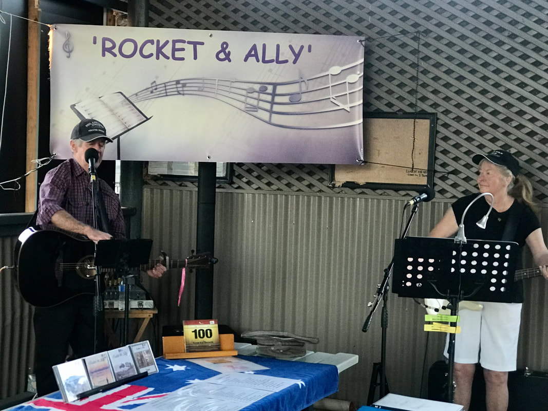
One of the wonderful aspects of travelling in Caravan parks is the serendipitous entertainment which can pop up with only a day or so warning. Usually provided by fellow travellers, usually grey nomads, these pictured are a couple who normally live on Bribie Island, but are travelling around. The hat was passed around to raise money for breast cancer as his partner was a survivor from 2002. The songs are usually from our era, although neither of us really enjoy Country and Western songs, Slim Dusty reigned supreme at today’s performance. A great way to enjoy a cool beverage and a good sing-a-long!
Dam capacities in Australia are frequently compared with the capacity of Sydney Harbour which holds approximately 500,000 megalitres. This would make the dam approximately 3 times the storage of Sydney Harbour in normal conditions and 4 times in extreme flood. On 29 December 2019 the Fairbairn Dam was at 9.6% capacity, the previous record low capacity was in December 2006 at 11.8%. You can see how reduced the level of the Dam is at the moment by visiting the Boat Ramp, which is 500 metres long.
At any rate, with the chilly conditions we are experiencing today, we are not likely to be ‘dipping our toe in the dam’ so the surrounding residents are ok to keep drinking their water! As we stand by the chilly fringes of the lake, there are fishermen entering the waters to go fishing and I even see a kayaker heading out. In 2017, some 9,000 Barramundi and 39,500 Golden Perch and 7,150 Silver Perch were stocked in the Dam. Another favourite small crayfish caught in these waters is the Red Claw but fishermen are required to bag every frame of the Red Claw. I thought this might be a catch limit, but Stephen tells me it is to prevent smell of the rotting remains - it amazes me that people need to be told this!
One of the wonderful aspects of travelling in Caravan parks is the serendipitous entertainment which can pop up with only a day or so warning. Usually provided by fellow travellers, usually grey nomads, these pictured are a couple who normally live on Bribie Island, but are travelling around. The hat was passed around to raise money for breast cancer as his partner was a survivor from 2002. The songs are usually from our era, although neither of us really enjoy Country and Western songs, Slim Dusty reigned supreme at today’s performance. A great way to enjoy a cool beverage and a good sing-a-long!